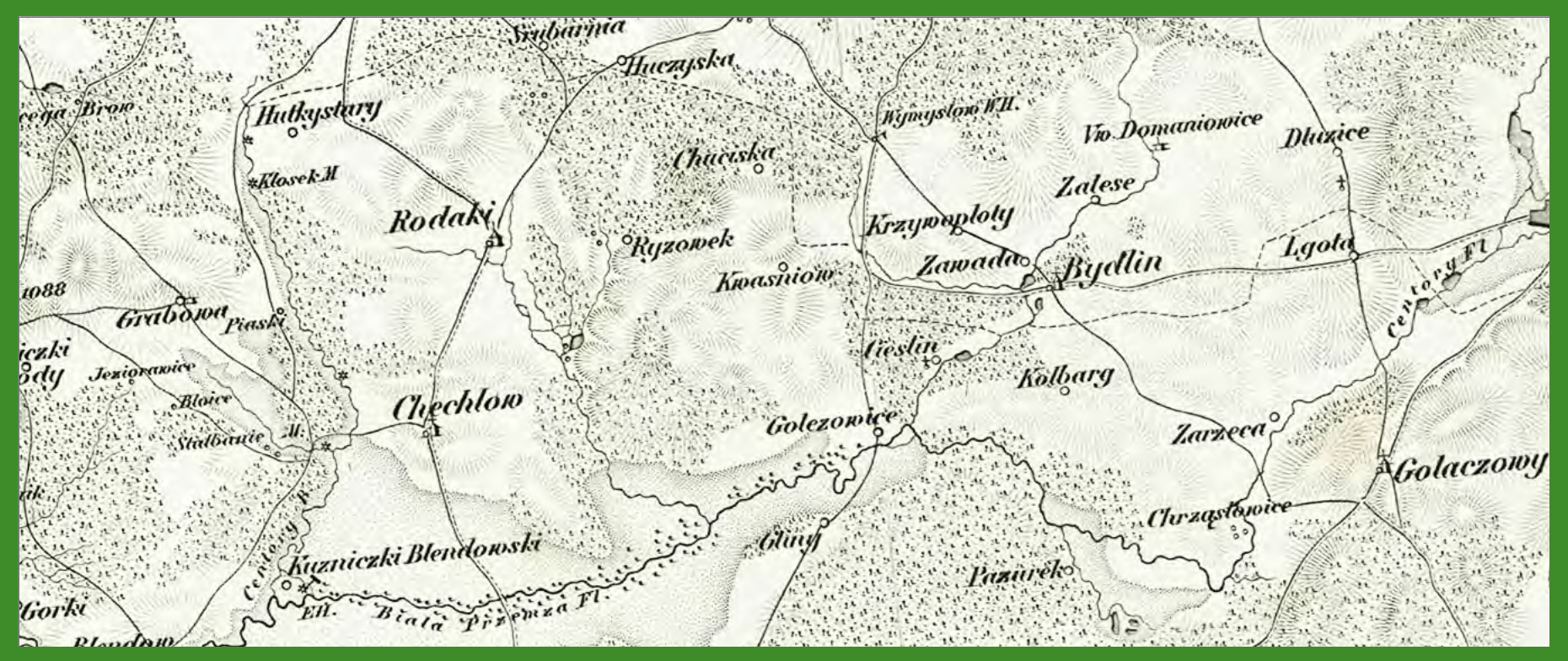
„Reymann’s Topographische Special-Karte von Central Europa” (1845). Cieślin i okolica na starych mapach, size 1860 × 784 ← Previous Next →